Santa Barbara, California 3-D Nautical Wood Chart Woodchart
$ 158,00 $ 63,20
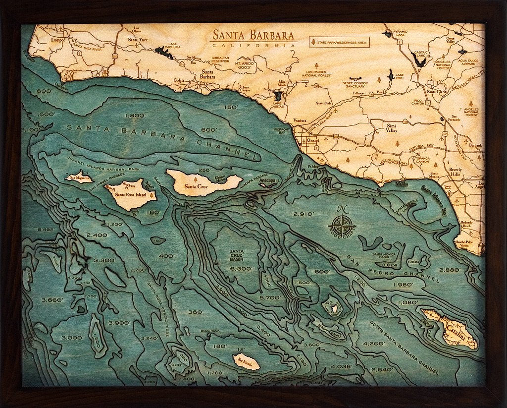
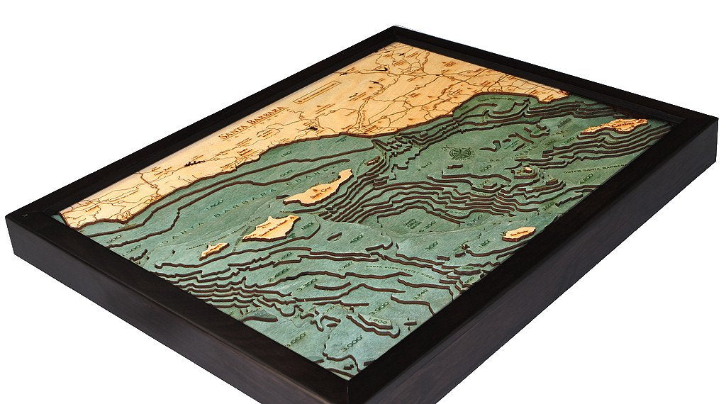
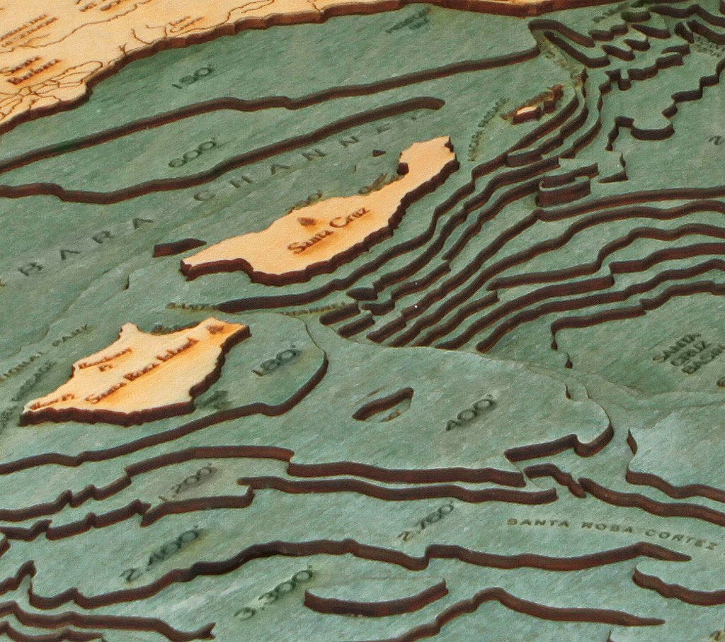
WoodChart’s beautiful map of Santa Barbara. A 3-D nautical wood map featuring Santa Barbara, California, and the Channel Islands.
Santa Barbara lies on the central California coast, with the Santa Ynez Mountains as dramatic backdrop. Downtown, Mediterranean-style white stucco buildings with red-tile roofs reflect the city’s Spanish colonial heritage. Lining State Street are upscale boutiques and restaurants offering local wines and seasonal fare. On a nearby hill, Mission Santa Barbara, founded in 1786, houses Franciscan friars and a small museum. The Santa Barbara Channel Separates the city of Santa Barbara from the relatively undeveloped Channel Islands.
Points of Interest:
Santa Barbara, Channel Islands National Park, Santa Ynez, Santa Cruz, Santa Rosa Island, Catalina, Santa Monica Bay, Ventura, Simi Valley, and Los Padres National Forest.
Our wood charts are made from Baltic birch and have a solid wood frame. They come ready to hang and we will provide free shipping within the continental United States.
Dimensions
- 16″ x 20″
Fast Shipping and Professional Packing
We offer a wide range of shipping options owing to our long-standing relationships with UPS, FedEx and DHL. Our warehouse staff are highly trained to pack your goods exactly according to the specifications that we supply. Your goods are thoroughly checked and securely secured prior to shipment. Every day, we deliver to thousands of clients in different countries. This shows our commitment to being the largest retailer online in the world. We have distribution centers as well as warehouses across Europe as well as the USA.
Orders with more than one item are given processing time in accordance with the item.
Prior to shipment the items, our staff will carry out an extensive inspection of the products you ordered. The majority of orders are delivered within 48 hours. Delivery time ranges between 3-7 days.
Returns
The stock is constantly changing. It's not completely managed by us, as we are involved with multiple organizations, such as the factory and our storage. Stock levels can fluctuate at any time. Be aware that it is possible for your order to become unavailable even after you've placed your order.
Our policy is valid for 30 days. If you have passed 30 days by since your purchase however, we're unable to give an exchange or refund.
In order to be eligible for a refund, your product must be unopened and in the same condition that you received it in. The item should be in its original packaging.
Related products
Accessories
Stuffed Animal
Bedding
Essentials
Slings & Carriers
Puzzles and Games
Asia Marble Game Set – 2 Games – Two-Player Bright Beam Goods
Stuffed Animal
instruments
Desk & Shelf Clocks
